United Kingdom-England 6
![]()
![]()
![]()
Hadrians Wall
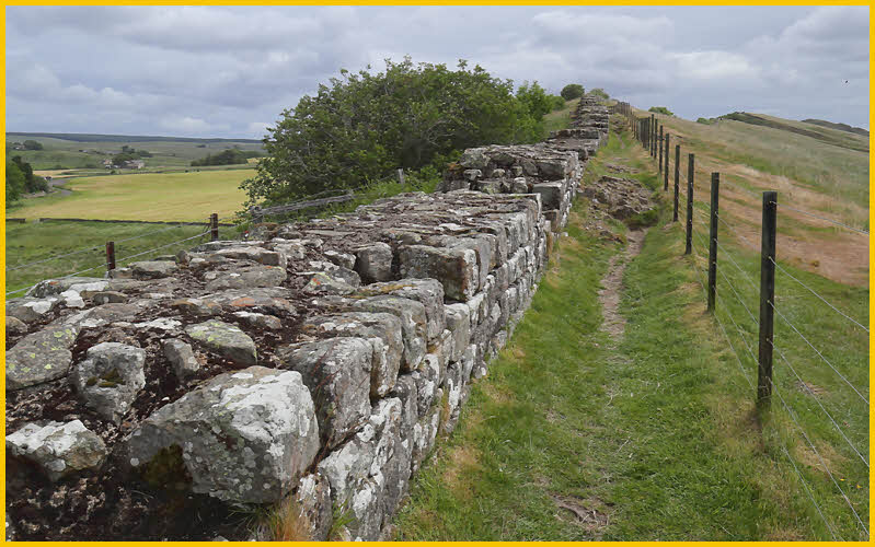 |
Hadrians Wall was a defensive fortification in the Roman province of Britannia, begun in AD 122 in the reign of the emperor Hadrian. The wall extended from coast to coast across the width of northern Britain; it ran for 73 miles from Wallsend on the River Tyne in the east to Bowness on the Solway Firth in the west. The original plan was to construct a stone wall 10 feet wide and at least 12 feet high for the eastern sector and a turf rampart 20 feet wide at the base for the western sector; both were fronted by a ditch, except where the crags rendered this superfluous. At every 1/3 Roman mile there was a tower, and at every mile a fortlet (milefortlet, or milecastle) containing a gate through the wall, presumably surmounted by a tower, and one or two barrack-blocks. Before this scheme was completed, forts were built on the wall line at roughly 7-mile intervals and an earthwork, known as the vallum, dug behind the wall and the forts. Probably at this stage the stone wall was narrowed from 10 Roman feet wide to about 8 feet. The fortlets, towers, and forts continued for at least 26 miles beyond Bowness southward down the Cumbrian coast.